 Thailand
 Country Snapshot: Geography
Location
Southeastern Asia, bordering the Andaman Sea and the Gulf of Thailand, southeast of Burma
Geographic Coordinates
15 00 N, 100 00 E
Map References
Southeast Asia
Area
Total: 513,120 sq km
Land: 510,890 sq km
Water: 2,230 sq km
Country Comparison to the World: 52
Area Comparative:
About three times the size of Florida; slightly more than twice the size of Wyoming
Land Boundaries
Total: 5,673 km
Border countries (4): Burma 2416 km, Cambodia 817 km, Laos 1845 km, Malaysia 595 km
Coastline: 3,219 km
Maritime Claims
Territorial sea: 12 nm
Exclusive economic zone: 200 nm
Continental shelf: 200-m depth or to the depth of exploitation
Climate
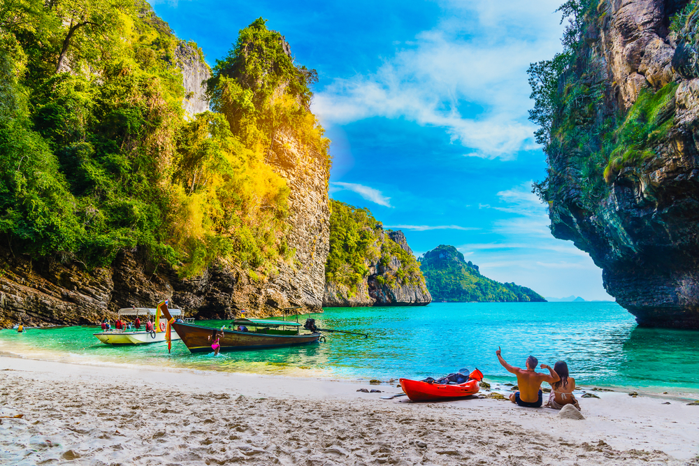
Tropical; rainy, warm, cloudy southwest monsoon (mid-May to September); dry, cool northeast monsoon (November to mid-March); southern isthmus always hot and humid
Terrain
Central plain; Khorat Plateau in the east; mountains elsewhere
Elevation
Mean elevation: 287 m
Lowest point: Gulf of Thailand 0 m
Highest point: Doi Inthanon 2,565 m
Natural Resources
Tin, rubber, natural gas, tungsten, tantalum, timber, lead, fish, gypsum, lignite, fluorite, arable land
Land Use
Agricultural land: 41.2% (2011 est.)
Arable land: 30.8% (2011 est.)
Permanent crops: 8.8% (2011 est.)
Permanent pasture: 1.6% (2011 est.)
Forest: 37.2% (2011 est.)
Other: 21.6% (2011 est.)
Irrigated land: 64,150 sq km (2012)
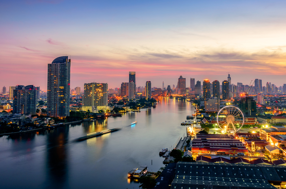
Population Distribution
Highest population density is found in and around Bangkok; significant population clusters found throughout large parts of the country, particularly north and northeast of Bangkok and in the extreme southern region of the country
Natural Hazards
Land subsidence in Bangkok area resulting from the depletion of the water table; droughts
Current Environmental Issues
Air pollution from vehicle emissions; water pollution from organic and factory wastes; water scarcity; deforestation; soil erosion; wildlife populations threatened by illegal hunting; hazardous waste disposal
Notes
- Controls only land route from Asia to Malaysia and Singapore;
- Ideas for the construction of a canal across the Kra Isthmus that would create a bypass to the Strait of Malacca and shorten shipping times around Asia continue to be discussed
Article written for World Trade Press by CIA Factbook, Current as of 5 May, 2021.
Copyright © 1993—2025 World Trade Press. All rights reserved.