 Thailand
 Geography: Rivers
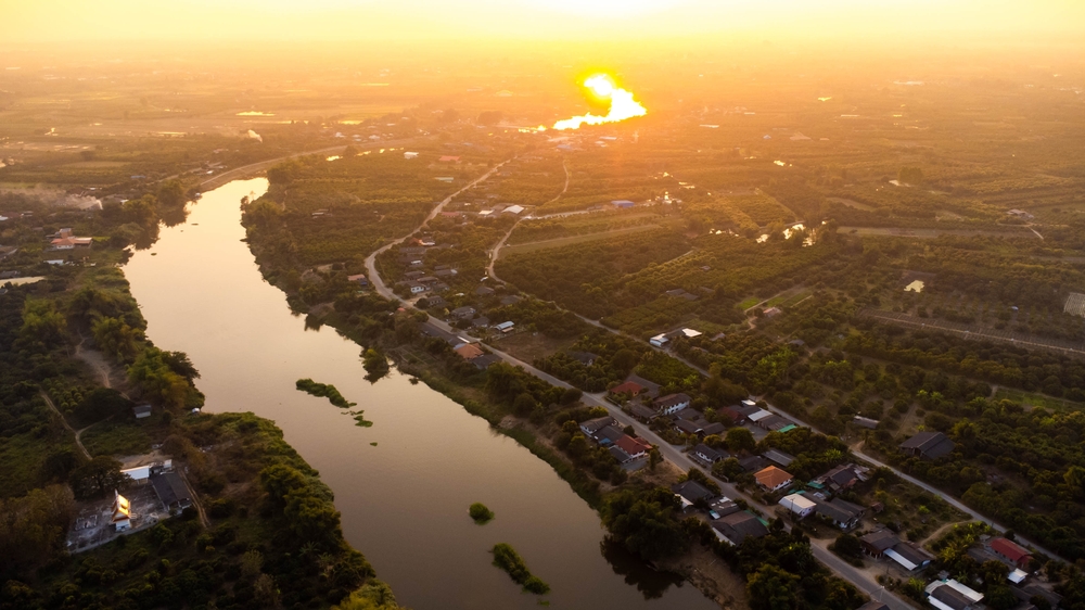
Thailand, a country known for its rich cultural heritage and beautiful landscapes, is laced with a network of rivers that are integral to its ecology, economy, and way of life. The Mekong, Mae Klong, and Chao Phraya rivers are among the most significant, supporting the country's extensive agricultural sector by providing essential water for irrigation, particularly for rice paddies, which are central to Thai cuisine and economy. These rivers also play a crucial role in transportation, especially in and around the bustling city of Bangkok. Additionally, they contribute to Thailand's hydroelectric power generation and are vital for the local fishing industry. Beyond their practical uses, Thai rivers are steeped in history and culture, hosting traditional floating markets and festivals, and featuring prominently in literature and folklore. They also offer recreational opportunities, drawing locals and tourists alike for activities such as river cruises and ecological tours. The table below presents an overview of the major rivers in Thailand, detailing their lengths, sources, and outflows.
|
River Name |
Length* |
Source |
Outflow |
|
Mekong River |
4,350 km (2,700 mi) |
Lasaigongma Spring, Zadoi, Yushu Tibetan Autonomous Prefecture |
Mekong Delta, South China Sea, Vietnam |
|
Mae Nam Mun River |
750 km (466 mi) |
Phetchabun Mountains |
Mekong River |
|
Nan River |
740 km (460 mi) |
Luang Prabang Range, Phayao Province |
Chao Phraya River |
|
Yom River |
600 km (373 mi) |
Thanon Thong Chai Range, Phitsanulok Province |
Nan River |
|
Ping River |
590 km (367 mi) |
Chiang Dao Mountains, Chiang Mai Province |
Chao Phraya River |
|
Mae Klong River |
392 km (244 mi) |
Huai Krachao District, Kanchanaburi Province |
Gulf of Thailand |
|
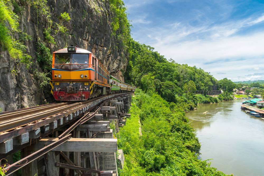
Kwae Yai River (River Kwai) |
380 km (236 mi) |
Thanon Thong Chai Range, Kanchanaburi Province |
Mae Klong River |
|
Chao Phraya River |
372 km (231 mi) |
Nakhon Sawan Province |
Gulf of Thailand |
|
Mae Nam Wang River |
329 km (204 mi) |
Thanon Thong Chai Range, Phitsanulok Province |
Chao Phraya River |
|
Tapi River (Tapi Basin) |
230 km (143 mi) |
Khao Luang, Nakhon Si Thammarat Province |
Gulf of Thailand |
*Sources do not differentiate between the length of river that exists within the country’s borders and the overall length of the river irrespective of national borders.
Copyright © 1993—2025 World Trade Press. All rights reserved.