History: Antique Maps
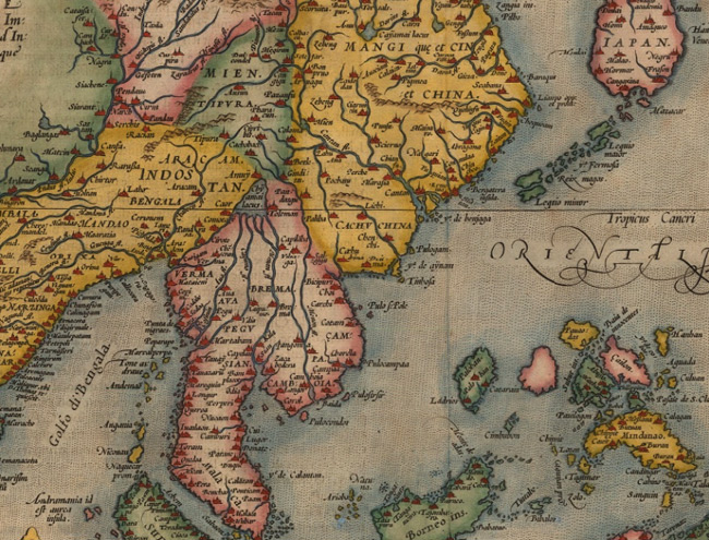
- Title: 1590 Map of Indiae Orientalis
- Description: An attractive map of the Far East encapsulating the age of early exploration and discovery. This is the first published work to map Taiwan. Coloured.
- Publisher: Abraham Ortelius
- Download: High-Res pdf
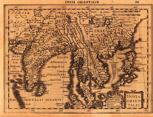
- Title: 1632 Map of India Orientalis
- Description: Copper engraving, uncolored as published. A fine copy in a dark impression, full margins as published.
- Publisher: I.E. Cloppenburgh
- Download: High-Res pdf
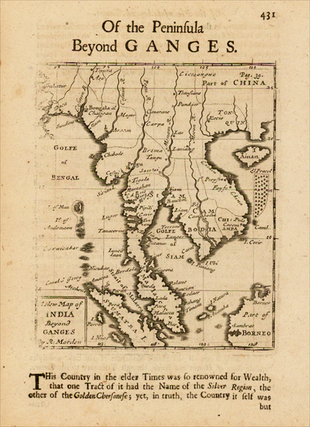
- Title: 1687 Map of India Beyond Ganges
- Description: Rare English map of the Malay Peninsula, Cambodia, Vietnam, Thailand, part of China, Borneo, Sumatra and the Gulf of Bengal.
- Publisher: Robert Morden
- Download: High-Res pdf
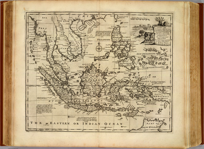
- Title: 1747 Map of East India Islands
- Description: Engraved map. Shows shoals, etc. Relief shown pictorially. Includes geographical and historical notes and ornamental cartouche.
- Publisher: William Innys
- Download: High-Res pdf
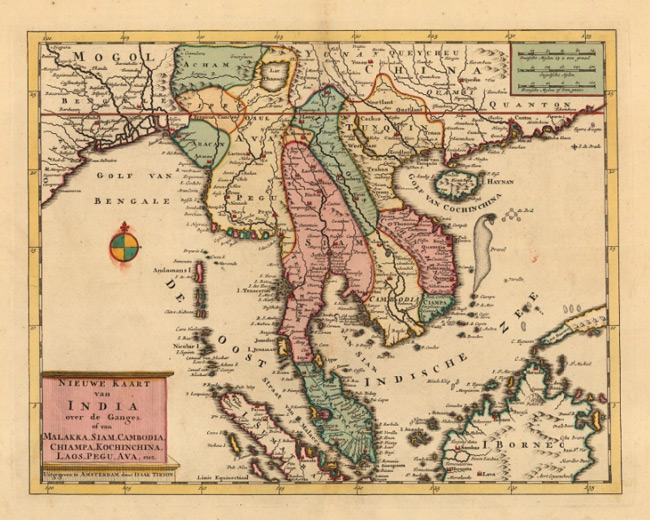
- Title: 1760 Map of Nieuwe Kaart van India over de Ganges
- Description: Detailed map of Indo-China comprising of Thailand, Myanmar, Malaysia, Singapore, Laos, Cambodia and Vietnam. Original colour.
- Publisher: Isaac Tirion
- Download: High-Res pdf
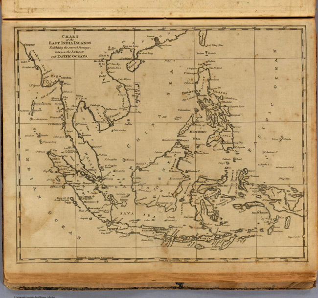
- Title: 1812 Map of East India Islands
- Publisher: Thomas & Andrews
- Download: High-Res pdf
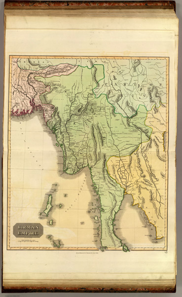
- Title: 1817 Map of Birman Empire
- Description: Engraved map. Hand colored. Relief shown by hachures. Covers present-day Burma and parts of Bhutan, India, Bangladesh, Thailand, Cambodia, Laos, Vietnam and southern China.
- Publisher: Baldwin, Cradock, and Joy
- Download: High-Res pdf
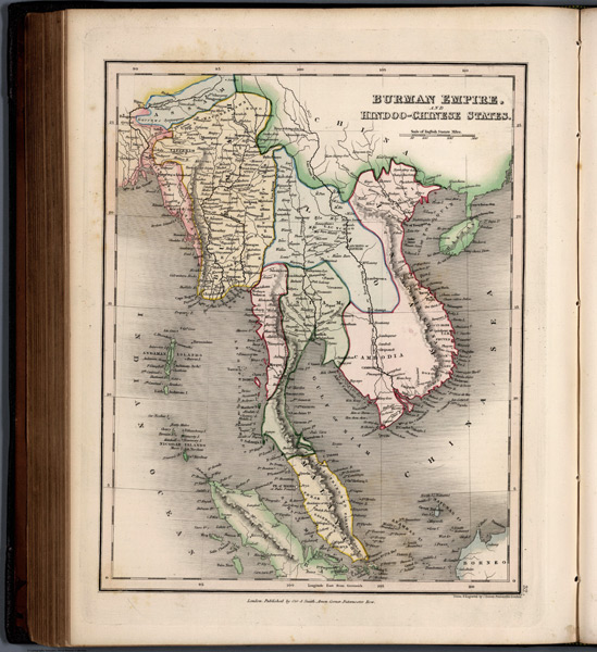
- Title: 1832 Map of Burman Empire, and Hindoo-Chinese States
- Publisher: W.S. Orr
- Download: High-Res pdf
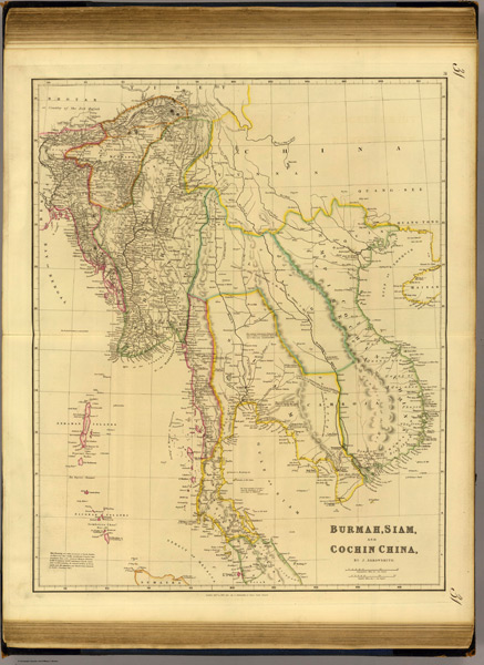
- Title: 1838 Map of Burmah, Siam, Cochin China
- Description: Engraved map. Hand colored boundaries. Relief shown by hachures.
- Publisher: John Arrowsmith
- Download: High-Res pdf
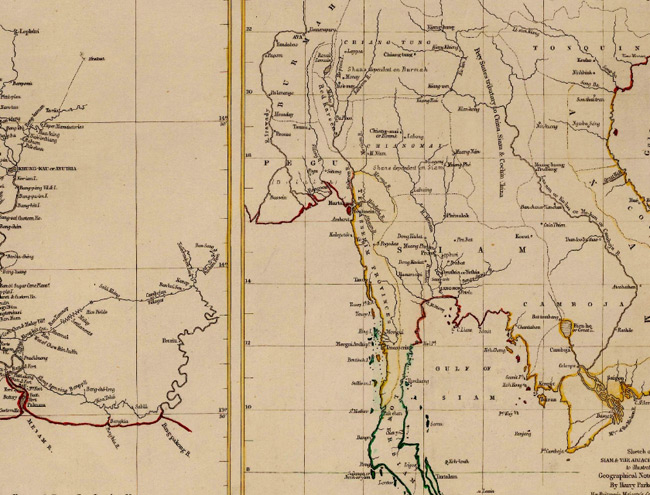
- Title: 1856 Map of Sketch of Siam & The Adjacent States
- Description: Siam and surrounding states and the Menam and its tributaries. Two maps on one sheet. Coloured.
- Publisher: Royal Geographical Society
- Download: High-Res pdf
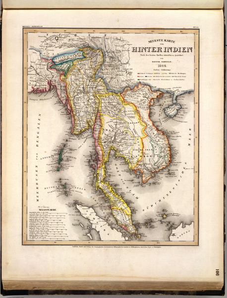
- Title: 1844 Map of Hinter Indien
- Publisher: Bibliographischen Instituts
- Download: High-Res pdf
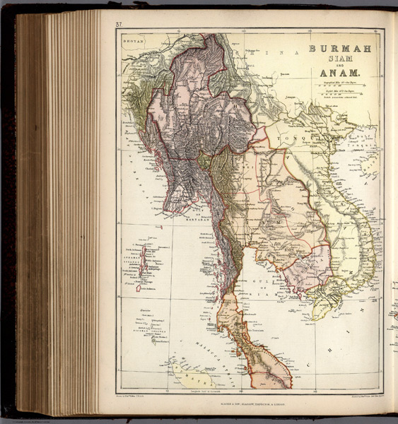
- Title: 1882 Map of Burmah, Siam, and Anam
- Publisher: Blackie & Son
- Download: High-Res pdf
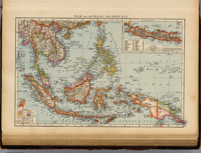
- Title: 1895 Map of Siam, Malay Archipelago
- Description: Color map with inset. Relief shown by hachures and spot heights. Show settlements, railroads, etc. Scale of Java map 1:9,000,000.
- Publisher: The Times
- Download: High-Res pdf
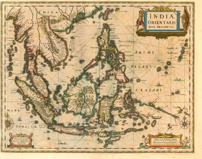
- Title: 1630 Map of Southeast Asia
- Publisher: J. Janssonius
- Download: High-Res pdf
Copyright © 1993—2025 World Trade Press. All rights reserved.

 Thailand